
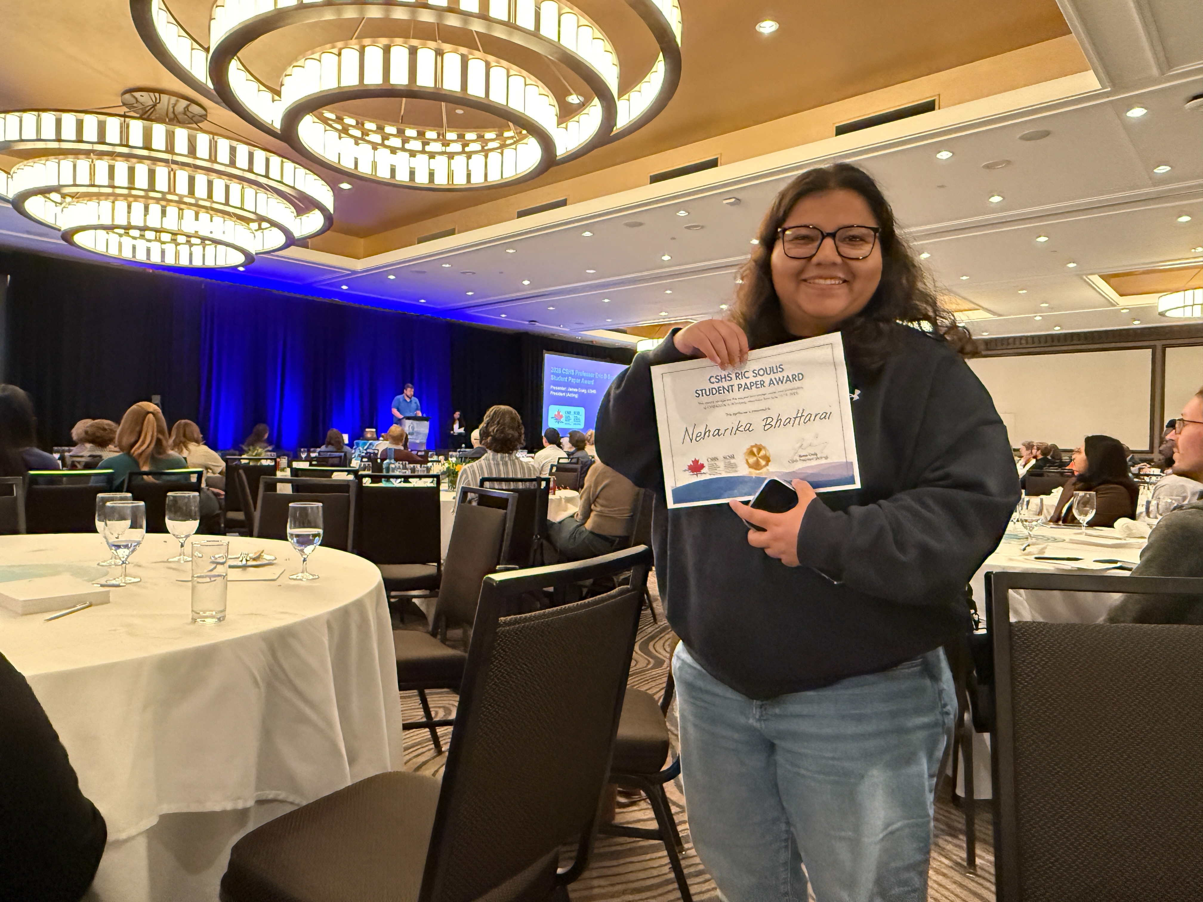
Two weeks ago (June 15-19) several lab members attended CWRA 2026 in Winnipeg, Manitoba. It was a wonderful week of learning and knowledge exchange. The conference provided a great opportunity to connect with the Canadian hydrological modelling community and gather valuable feedback.
Neharika presented a talk titled “Assessing the Reliability of Model Structures and Parameter Transfer across the Indian Subcontinent.” The presentation covered ongoing work on large-sample hydrological model calibration and regionalization across the Indian Subcontinent, including multi-structure model calibration across gauged basins using the FUSE framework, development of a basin-adaptive objective function to address calibration challenges in non-perennial rivers, and an emulator-based regionalization approach for parameter transfer to ungauged basins. We are thrilled to share that her paper and presentation received the 2026 Canadian Society for Hydrologic Sciences (CSHS) Professor Ric Soulis Student Paper Award! Neharika is grateful to her supervisors and co-authors for their continued support.
Tyler presented a talk titled “Lake and Reservoir Geofabric Delineation Workflow: An open-source workflow for flow explicitly representing and correcting instream reservoirs and lakes.” The presentation introduced a model-agnostic workflow developed to improve the representation of lakes and reservoirs in large-domain, vector-based hydrological models. Reservoirs often alter natural flow patterns and are difficult to represent accurately, leading to challenges in model calibration and validation. Building on the TauDEM basin delineation tool, the workflow modifies flow routing to direct water through lake and reservoir centers, identifies inflow and outlet locations, and delineates catchments explicitly to reservoir boundaries. These reservoir catchments are integrated into the input geospatial fabrics for the model, enabling more realistic simulation of hydrological processes and improving the representation of physical basin characteristics in hydrological modelling applications.
Kasra presented a talk titled “Continental-Domain MESH Application over North America: Application, Calibration, and Reproducible Experimentation,” which showcased our ongoing work with Environment and Climate Change Canada’s MESH hydrological model at a continental scale. The presentation covered the Model-Agnostic Framework (MAF) and the Framework for Iterative Analysis and Testing (FIAT), which enable reproducible and model-agnostic calibration workflows. We applied MESH to 304 headwater catchments from the CAMELS-SPAT dataset, using landscape-based GRU discretization for parameter regionalization, and demonstrated early calibration results showing a meaningful improvement in KGE scores. The presentation generated a good number of questions from the audience, particularly around parameter regionalization and transferability to ungauged basins, the sensitivity analysis experiment used to identify the most influential parameters, the broader plan for running the full MESH model across the entire North American continent, and the details of our calibration strategy.
Paul presented a poster titled “Implementation of a Hysteretic Prairie Pothole Model to Assess Future Water Availability in a Transboundary Basin.” This study configured the HYPE hydrological model in the St. Mary and Milk River (SMM) Basin to simulate natural flow and assess the hydrology of the basin under statistically downscaled future climate scenarios. Hydrological modelling in the region is complicated by the presence of prairie potholes in the Milk River, so the HDS module which can simulate the hysteretic relationship between prairie pothole storage and contributing area was implemented. This study presents the configuration of HYPE in this hydrologically diverse basin, an evaluation of the HDS module in the historical period, and a future climate analysis of the hydrology of the region including precipitation, snow, streamflow, and contributing area. These results may inform International Joint Commission decisions on apportionment practices and infrastructure options in this transboundary basin.
Dorothy and Al both moderated special sessions called “Advancements Towards Open-Source Canada-wide Flood Hazard Mapping.”
Great job to those who attended the conference and congratulations Neharika for the award!
 Posted on 18 Aug 2026
 Posted on 31 Jul 2026
 Posted on 28 Jul 2026
 Posted on 17 Jul 2026
About CAPE: We bring together observations, models, and data science to improve understanding and prediction of hydrological processes across scales from hillslopes to continents.
Land and Water Acknowledgement: We respectfully acknowledge that we live and work on Treaty 7 Territory and the Homeland of the Métis, Tsuut'ina, Stoney, and Blackfoot. We thank these nations for their care and stewardship over this land and water, and we pay respect to the ancestors of these places.