

The team had a great send off for Wouter and Diana’s move to Germany. Wouter has been with the team for seven years, starting with Martyn at the University of Saskatchewan Coldwater Laboratory in Canmore, and then moving with Martyn to the University of Calgary in 2023 and Diana had an “Eyes High” fellowship at the University of Calgary for the past two years working with Tricia Stadnyk.
Wouter and Diana are both moving onto an exciting new chapter in their careers. Wouter will take up a position with Dr. Thorsten Wagener at Universität Potsdam to advance research in global hydrology. Diana will be starting a 3-year “Eigene Stelle” fellowship from the German Research Foundation at the University of Dresden to advance understanding of model structural uncertainty. While we will miss them both dearly, we’re excited for their new opportunities. We look forward to continued collaboration!
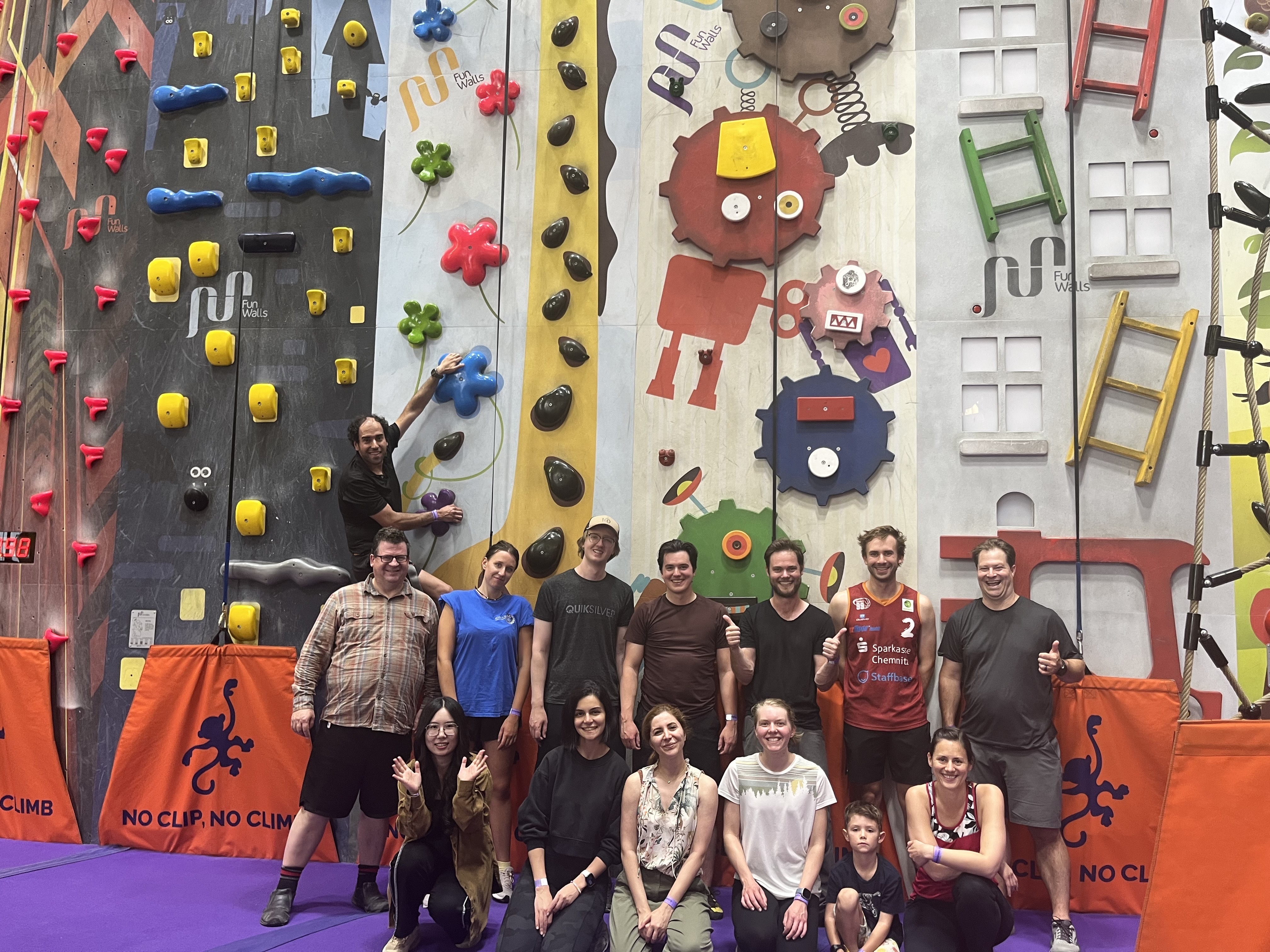
Group picture after climbing.

Wouter between climbs.
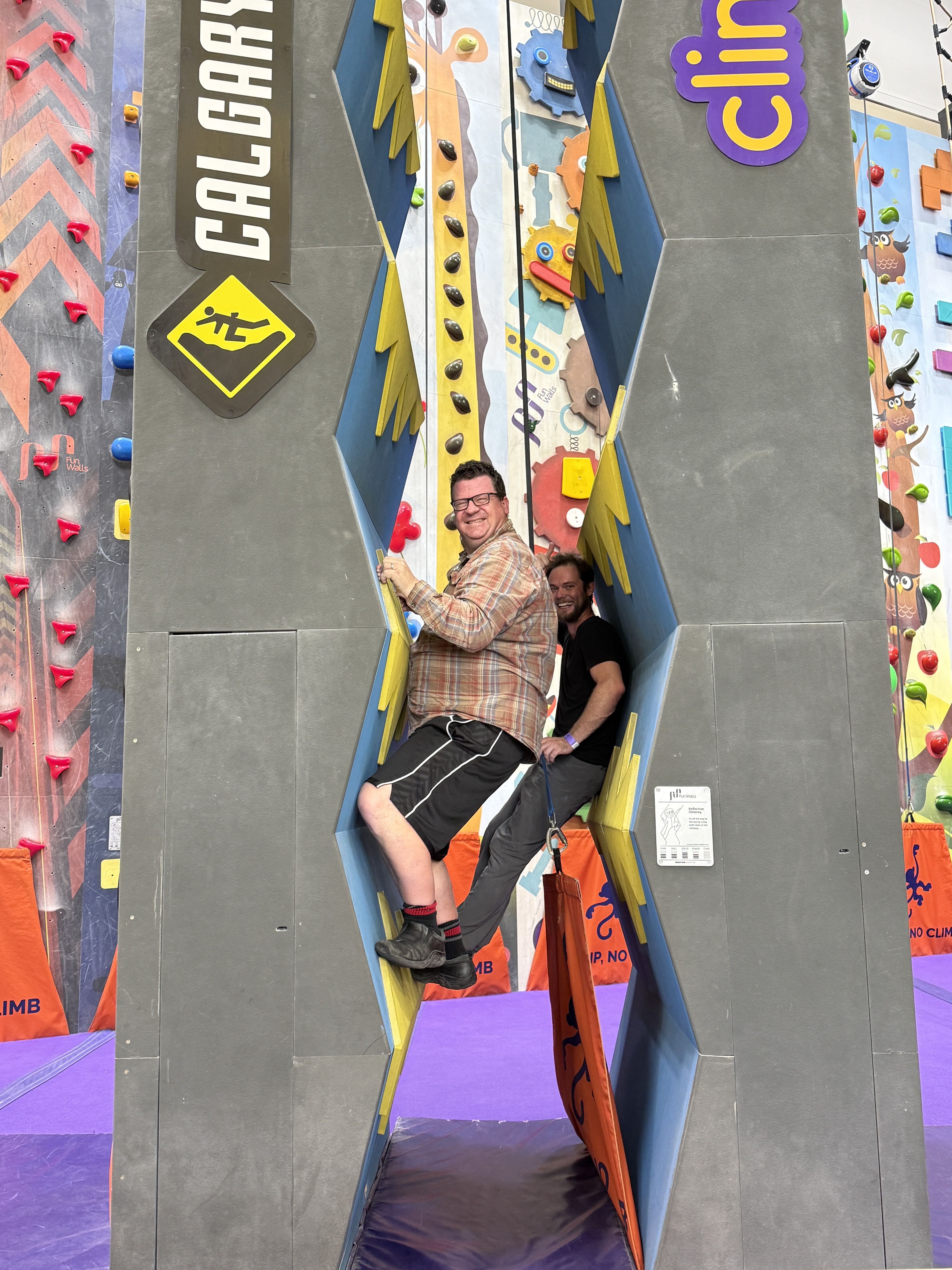
Martyn and Wouter posing in the chimney.
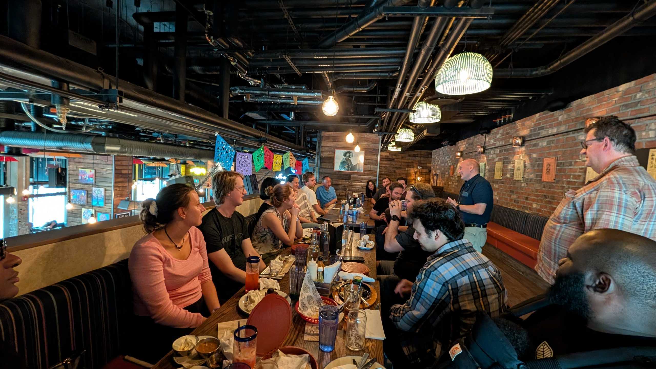
Dinner at Blanco Cantina.

There are three recently published papers to highlight.
The first paper is Technical Note: Using Benchmark Ensembles to Reduce the Impact of Streamflow Variability on Model Performance Metrics by Paul, Wouter, Cyril, Nico, Martyn, and Al.
Hydrological models are commonly evaluated by seeing how well the simulated streamflow matches observed streamflow. One of the most common methods for doing this compares the performance of the model to the performance obtained by using the average observed flow and thus answers the question “is my model better than using the average flow”. The problem is that the average flow is much easier to beat in some rivers (such as snowmelt dominated rivers where flow is very high in the spring and low in the winter) than in others (such as dry regions where flow is usually very low except for rare high flow events). Comparing a model to the average flow in different regions makes it hard to tell if your model gets a good score because the model is good, or because the average flow was too easy to beat.
This paper presents a more comprehensive approach for evaluating simulated streamflow by using many different comparisons instead of only relying on the average flow. The authors compare model performance to 20 simple ways of estimating streamflow across North America and found that no single method is the best test of model performance everywhere. Instead, you should test your model against many different alternative estimates of streamflow and select the most difficult test to beat. This helps make sure that you get a good score because your model is good, and not because you are comparing it to something that is too easy to beat. This can help modellers better understand in which locations their models are performing well, and in which locations improvements can be made. The research presented in this paper was funded by CIROH (grant number: NA22NWS4320003)
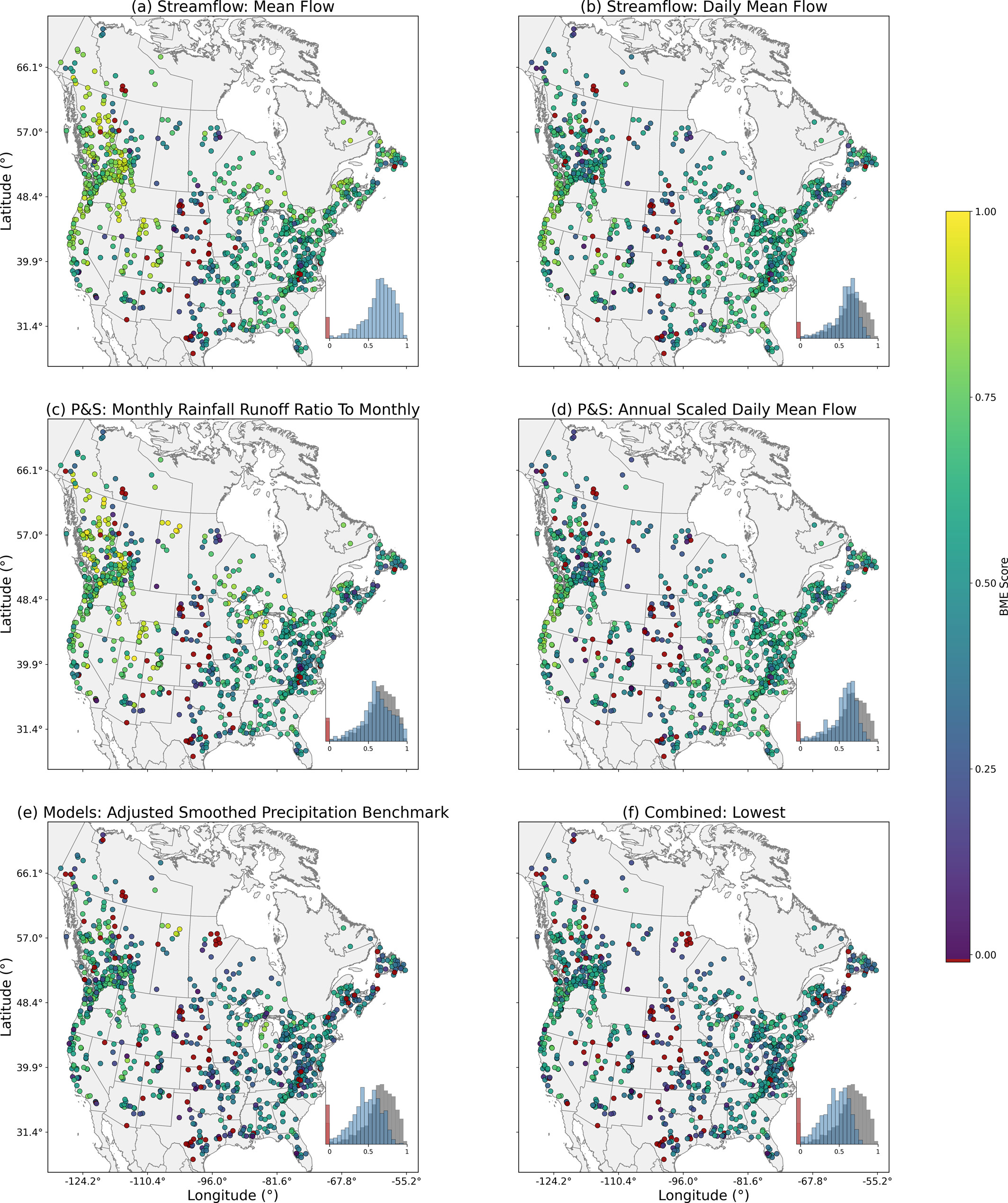
Spatial distribution of benchmark efficiency (BME) skill scores across the CAMELS-SPAT basins for benchmarks in different categories. Panel (f) shows the lowest BME score of the ensemble at each catchment. Red dots denote BME values below 0. Histograms are included with all negative values being included in the red bin, the gray histograms in (b–f) correspond to the Mean Flow (Nash-Sutcliffe Efficiency) (from Coderre et al. 2026).
The second paper to highlight is Lake monitoring and research efforts in Alberta, Canada: an assessment of 15-years of published literature focusing on assessing research collaborations and partnerships by Kaitlyn, David, Brad (Alberta Lake Management Society), Fred, and Kerry.
The review presents an analysis of recent lake research and monitoring in Alberta. The authors asked the following questions: who is doing lake research in Alberta? who are they doing it with? where are they doing it? and what specific endpoints are they looking at? The results show a bias toward academic-led research with collaborations primarily occurring with governments and non-government organizations. The paper identifies and discusses a significant gap in Indigenous representation in academic research articles, both as authors and collaborators. Oil and gas extraction and refinement drove research in the Athabasca watershed (the most commonly researched region), with water quality endpoints as the most common endpoints.
This review emphasizes the need for enhanced collaboration between academia, government, and communities. Specific recommendations include standardized data repositories with comprehensive metadata, improved Indigenous representation on editorial boards and in community-based monitoring initiatives, and more Indigenous data sovereignty training and awareness in academic and governmental research training and review processes. The authors call for transformative approaches to integrate diverse knowledge systems to bridge gaps in research equity and environmental stewardship and improve lake management.
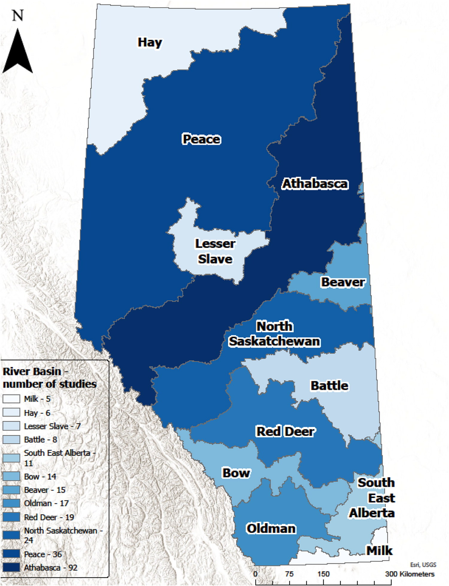
Number of manuscripts regarding Alberta lakes focused on each river basin region. Light blue indicates few studies, and dark blue indicates many studies. Data sources: ESRI Basemap and Government of Alberta Base Watersheds layers (from Murgatroyd et al. 2026).
The third paper is Improving the Numerical Solution of the Energy Equation in Land Models by Ashley, Raymond (USask), and Martyn.
This study aims to improve the accuracy of land models by improving how they numerically solve the energy equation. The authors show that the methods most commonly used at present can lead to large errors, especially in cold regions, causing inaccurate predictions of soil temperature and water content. The authors test five different ways to solve the energy equation, including new methods that use advanced techniques to control errors, over North America. The authors recommend two new approaches, where there is a trade-off between strictly conserving energy and reducing overall errors in the simulation variables. Improving these calculations will help researchers build better models for understanding land processes.
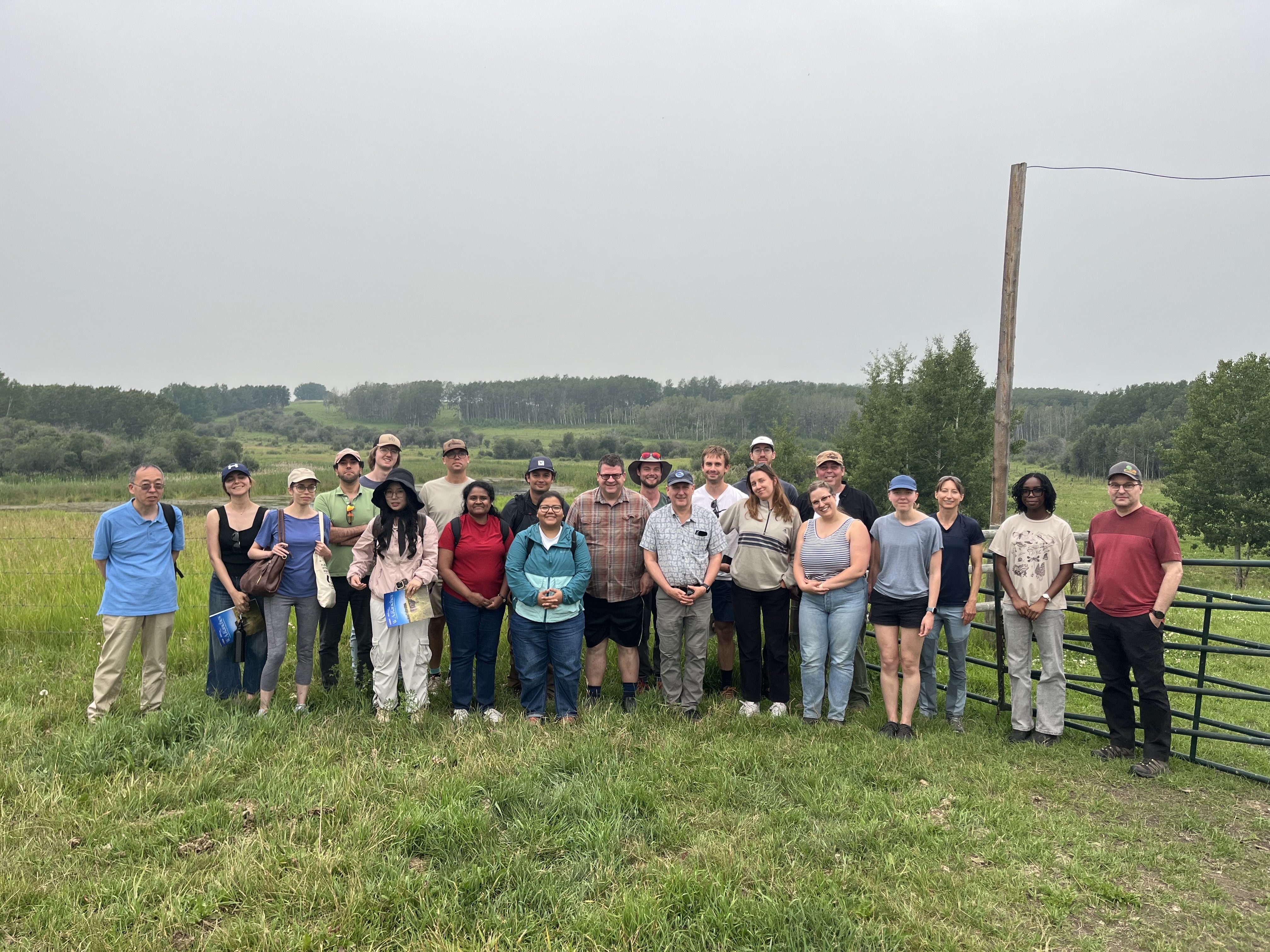
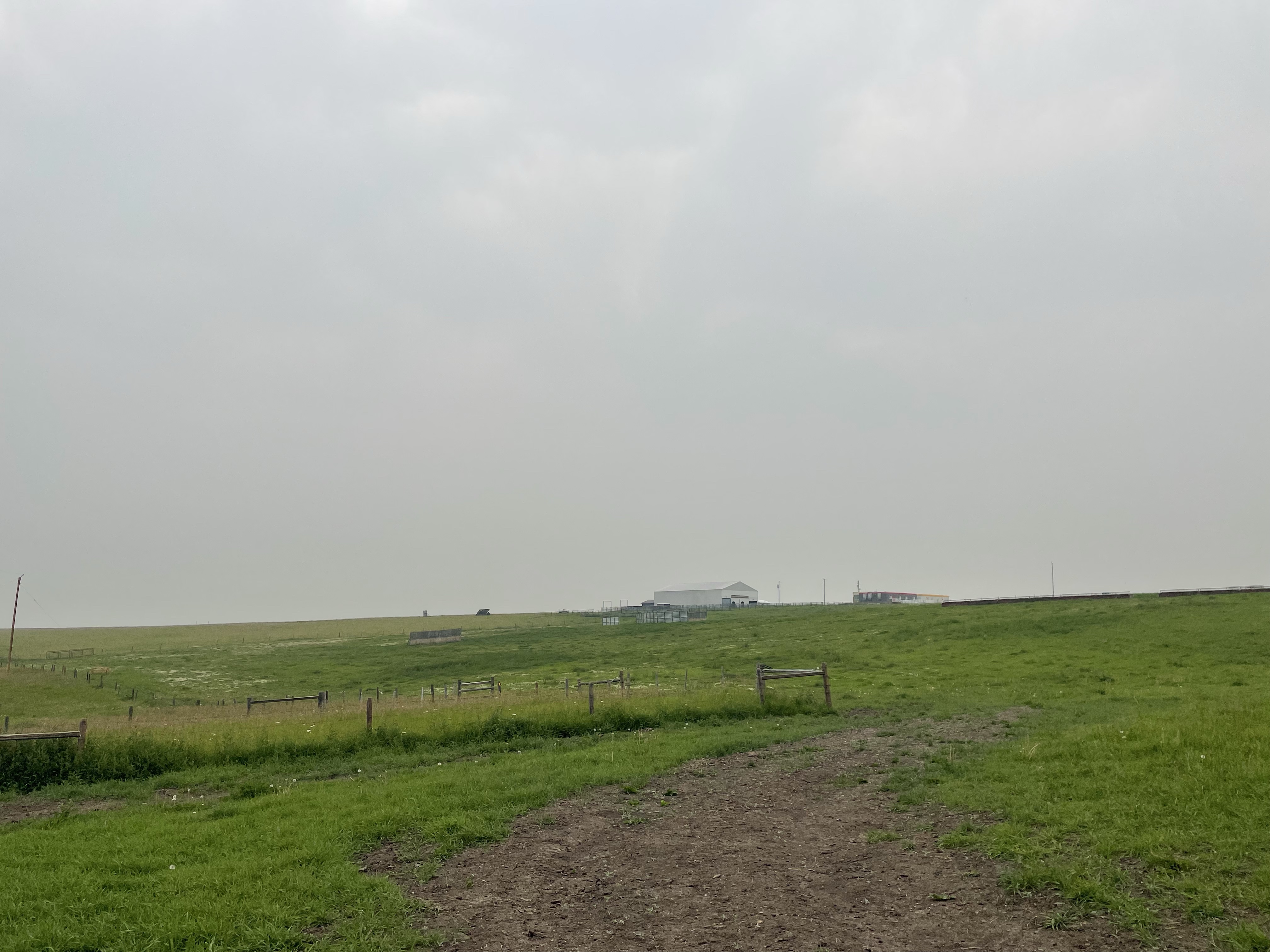
Last Thursday, several lab members visited WA Ranches, located approximately 25 minutes Northwest of Calgary. WA Ranches is a cattle ranch that was gifted to the University of Calgary in 2018 and is now being used as a teaching and research facility by several faculties including Veterinary Medicine, Science, and Engineering. Terri Whitehead led a tour of the ranch and showed some of Al’s and Erin Nicholls’ hydrologic monitoring equipment, including a rain gauge, a soil moisture and temperature probe, and an eddy covariance tower.
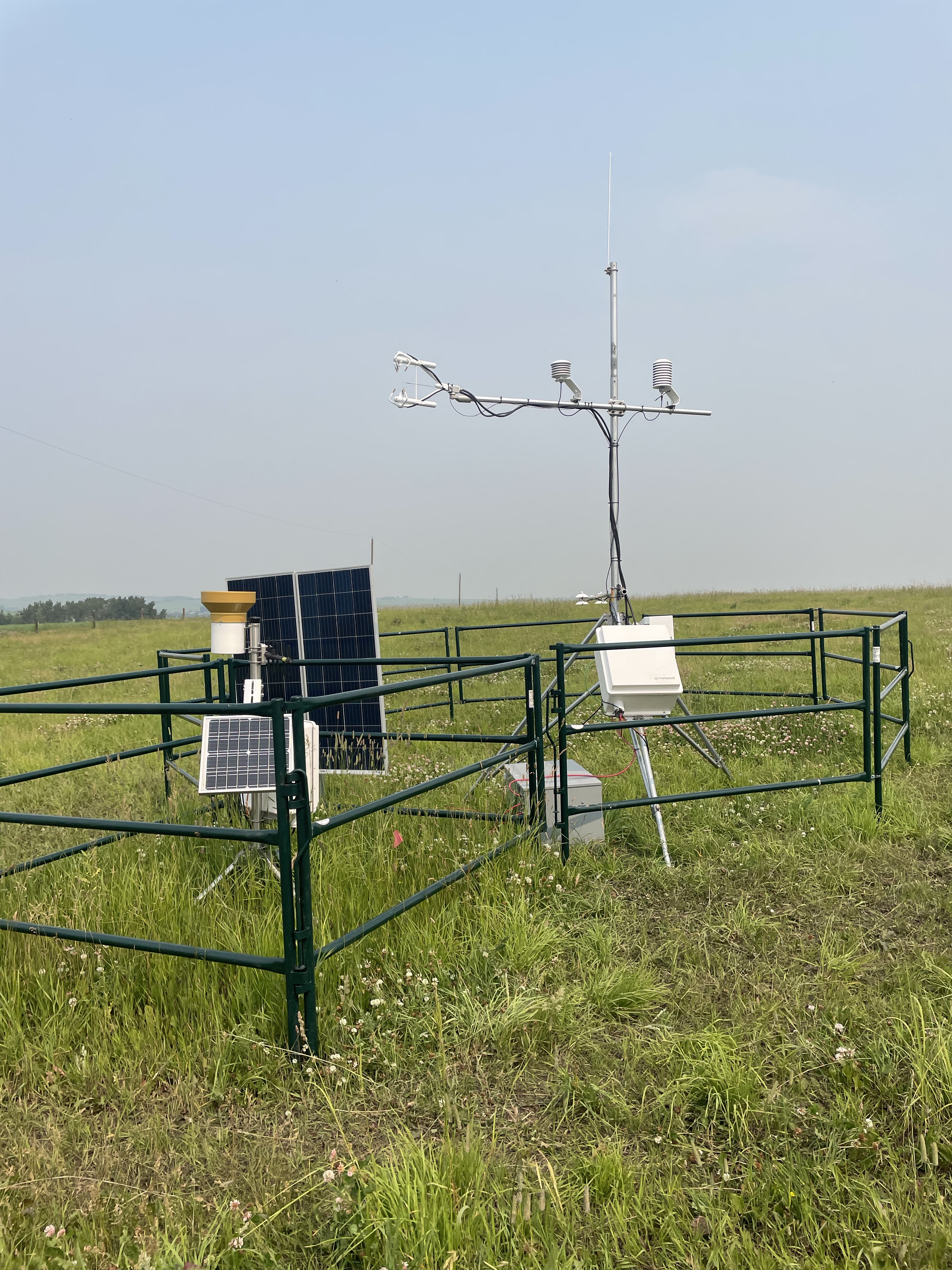
Left: rain gauge and soil moisture and temperature probe, Right: Eddy covariance tower .
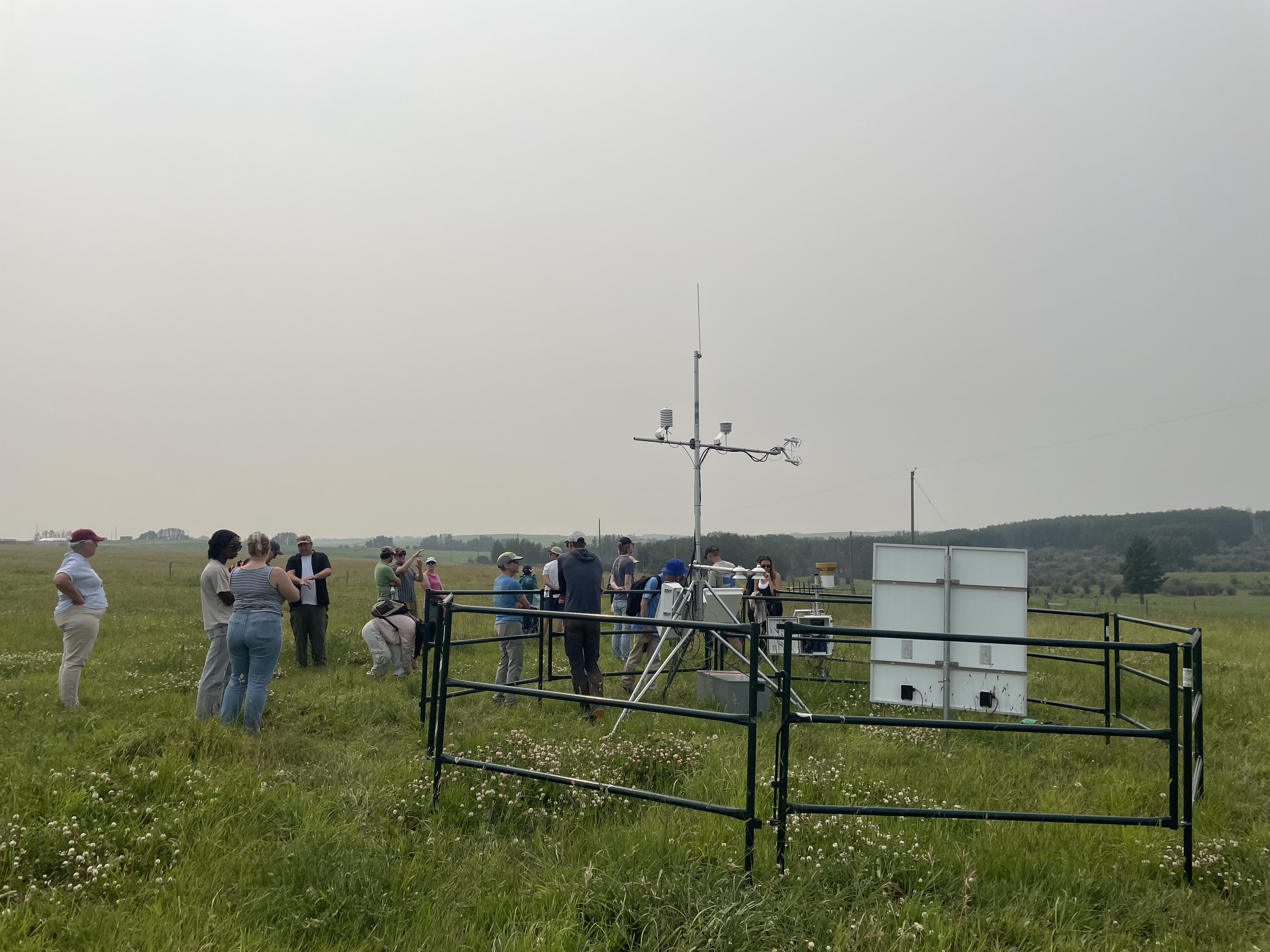
Outstanding with the eddy covariance tower.
There were also presentations from Ed Pajor (WA Ranches Director), Chris Spence (Environment and Climate Change Canada), Cathy Ryan (Earth, Energy, and Environment, UCalgary), Brandi Newton (Alberta Environment and Protected Areas), and Karen Orsel (Veterinary Medicine, UCalgary).
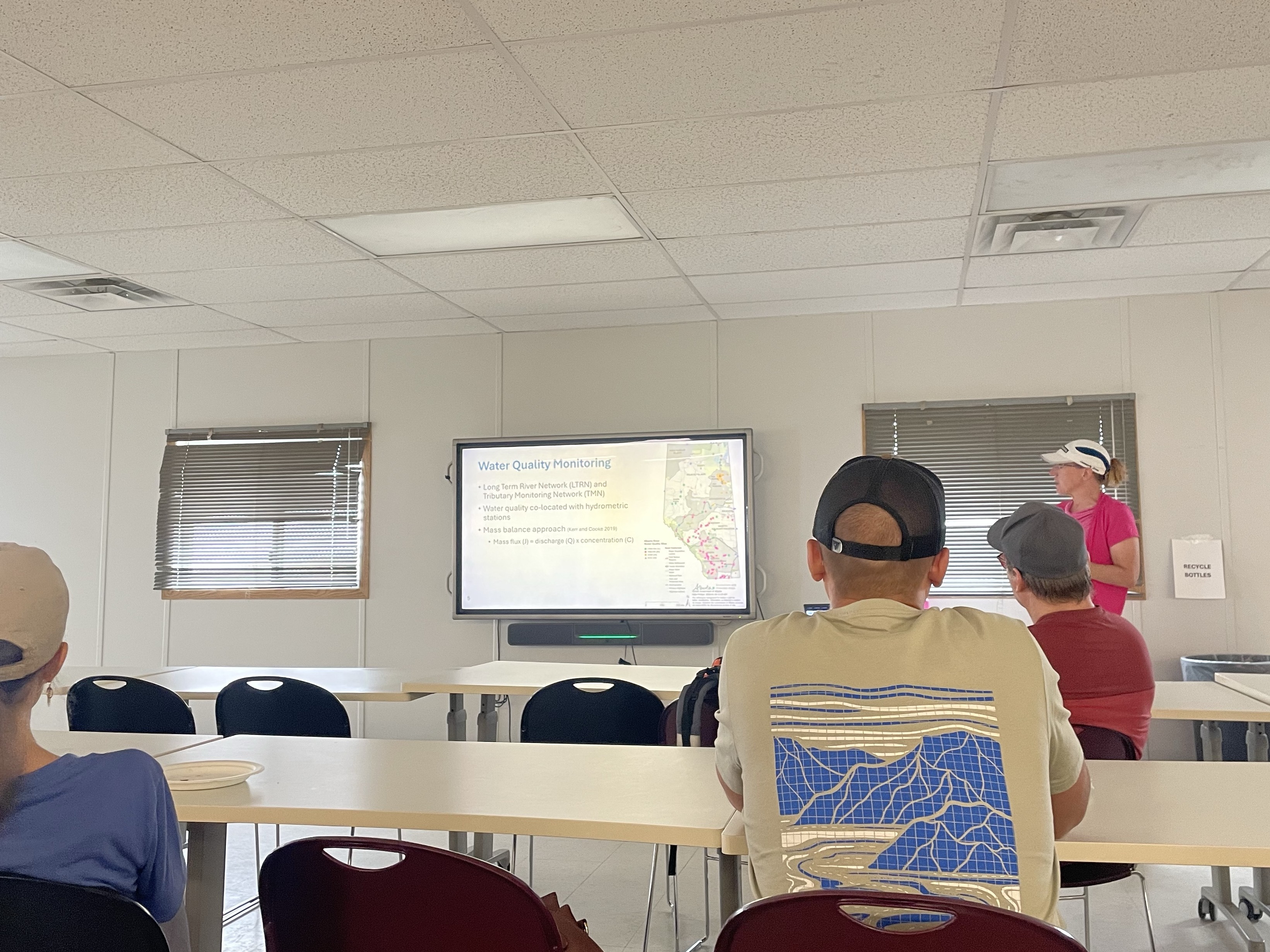
Brandi Newton presenting about water quality monitoring in Alberta.
It was a wonderful day trip with a great tour, presentations, and lunch!
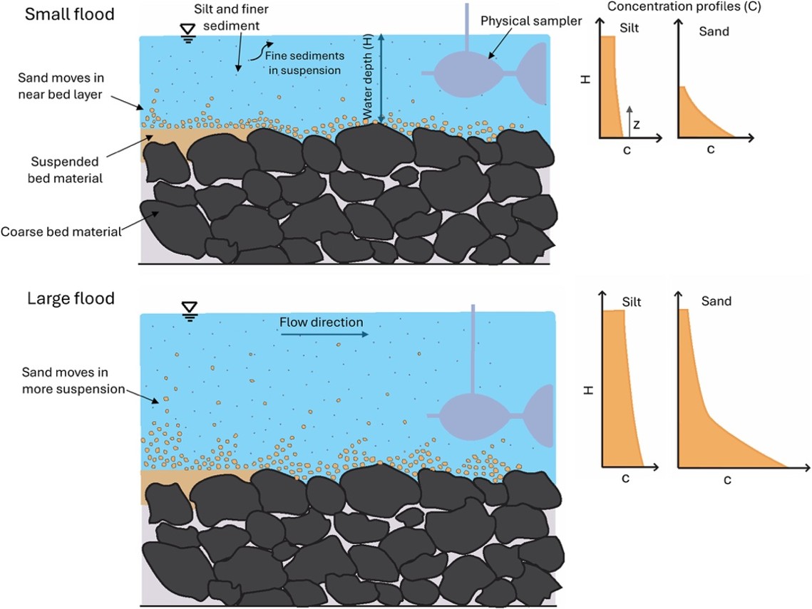
This week, Arman published a paper titled: Measuring Sand and Finer Suspended Sediment Concentration Profiles in Gravel Bed Rivers.
After water, sand is the second most consumed natural resource globally. Sand is the main construction aggregate, protects our shorelines from erosion, and provides essential habitats for many aquatic ecosystems. Rivers bring sand to the coast, but human impacts can significantly reduce coastal sand by trapping sand behind dams and reducing the river’s capacity to transport sediment to the coast due to reduced flood capacity downstream. Globally, interruption of river-sand delivery is one of the main causes of increased coastal erosion.
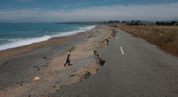
Erosion in sandy beach of New Zealand impacted (Photo by: Cyprien Bosserell, Earth Science New Zealand).
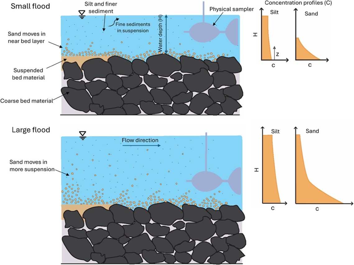
Despite its importance, measuring sand transport in rivers remains one of the biggest challenges in fluvial hydrology. Unlike fine sediment, sand is transported in a unique way, being concentrated near the river bed and moving in intermittent pulses driven by turbulent flow, making it especially difficult to measure.
In his new Water Resources Research paper, Arman and collaborators from New Zealand, Australia, the UK, and the USA present an innovative approach for measuring vertical sand concentration profiles in gravel-bed rivers. These unique measurements were then used to estimate the Rouse number, a fundamental parameter governing suspended sand transport, providing a new framework for monitoring and modelling sand transport in rivers and coastal environments.
Read the paper here! https://doi.org/10.1029/2025WR043190
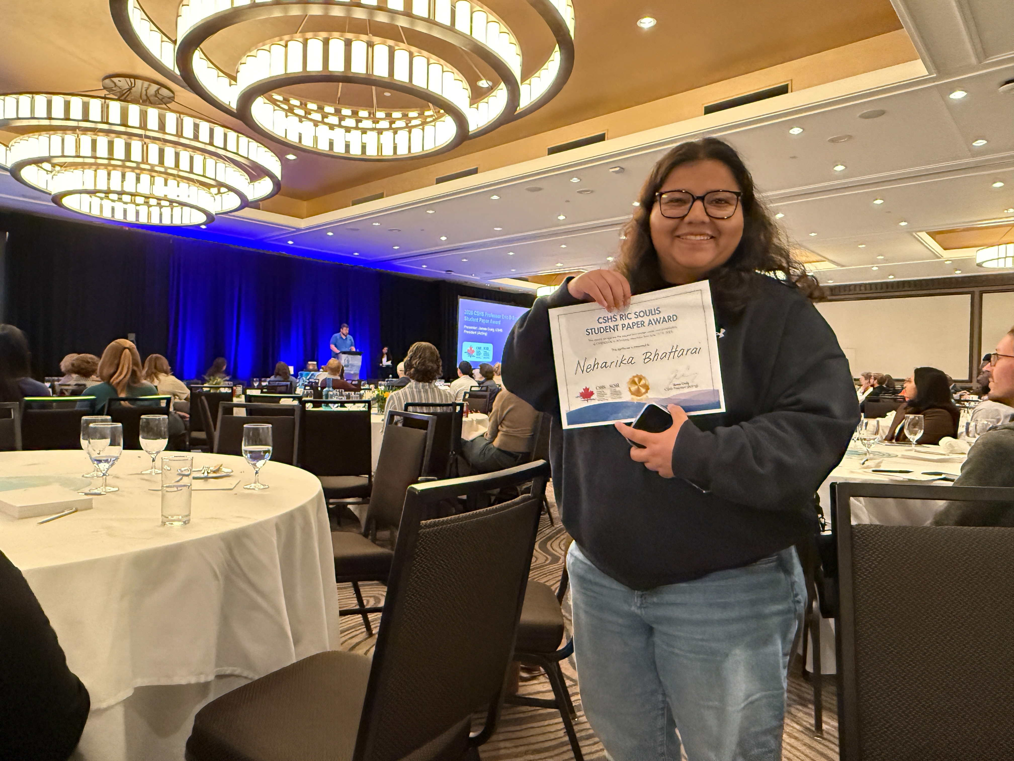
Two weeks ago (June 15-19) several lab members attended CWRA 2026 in Winnipeg, Manitoba. It was a wonderful week of learning and knowledge exchange. The conference provided a great opportunity to connect with the Canadian hydrological modelling community and gather valuable feedback.
Neharika presented a talk titled “Assessing the Reliability of Model Structures and Parameter Transfer across the Indian Subcontinent.” The presentation covered ongoing work on large-sample hydrological model calibration and regionalization across the Indian Subcontinent, including multi-structure model calibration across gauged basins using the FUSE framework, development of a basin-adaptive objective function to address calibration challenges in non-perennial rivers, and an emulator-based regionalization approach for parameter transfer to ungauged basins. We are thrilled to share that her paper and presentation received the 2026 Canadian Society for Hydrologic Sciences (CSHS) Professor Ric Soulis Student Paper Award! Neharika is grateful to her supervisors and co-authors for their continued support.
Tyler presented a talk titled “Lake and Reservoir Geofabric Delineation Workflow: An open-source workflow for flow explicitly representing and correcting instream reservoirs and lakes.” The presentation introduced a model-agnostic workflow developed to improve the representation of lakes and reservoirs in large-domain, vector-based hydrological models. Reservoirs often alter natural flow patterns and are difficult to represent accurately, leading to challenges in model calibration and validation. Building on the TauDEM basin delineation tool, the workflow modifies flow routing to direct water through lake and reservoir centers, identifies inflow and outlet locations, and delineates catchments explicitly to reservoir boundaries. These reservoir catchments are integrated into the input geospatial fabrics for the model, enabling more realistic simulation of hydrological processes and improving the representation of physical basin characteristics in hydrological modelling applications.
Kasra presented a talk titled “Continental-Domain MESH Application over North America: Application, Calibration, and Reproducible Experimentation,” which showcased our ongoing work with Environment and Climate Change Canada’s MESH hydrological model at a continental scale. The presentation covered the Model-Agnostic Framework (MAF) and the Framework for Iterative Analysis and Testing (FIAT), which enable reproducible and model-agnostic calibration workflows. We applied MESH to 304 headwater catchments from the CAMELS-SPAT dataset, using landscape-based GRU discretization for parameter regionalization, and demonstrated early calibration results showing a meaningful improvement in KGE scores. The presentation generated a good number of questions from the audience, particularly around parameter regionalization and transferability to ungauged basins, the sensitivity analysis experiment used to identify the most influential parameters, the broader plan for running the full MESH model across the entire North American continent, and the details of our calibration strategy.
Paul presented a poster titled “Implementation of a Hysteretic Prairie Pothole Model to Assess Future Water Availability in a Transboundary Basin.” This study configured the HYPE hydrological model in the St. Mary and Milk River (SMM) Basin to simulate natural flow and assess the hydrology of the basin under statistically downscaled future climate scenarios. Hydrological modelling in the region is complicated by the presence of prairie potholes in the Milk River, so the HDS module which can simulate the hysteretic relationship between prairie pothole storage and contributing area was implemented. This study presents the configuration of HYPE in this hydrologically diverse basin, an evaluation of the HDS module in the historical period, and a future climate analysis of the hydrology of the region including precipitation, snow, streamflow, and contributing area. These results may inform International Joint Commission decisions on apportionment practices and infrastructure options in this transboundary basin.
Dorothy and Al both moderated special sessions called “Advancements Towards Open-Source Canada-wide Flood Hazard Mapping.”
Great job to those who attended the conference and congratulations Neharika for the award!
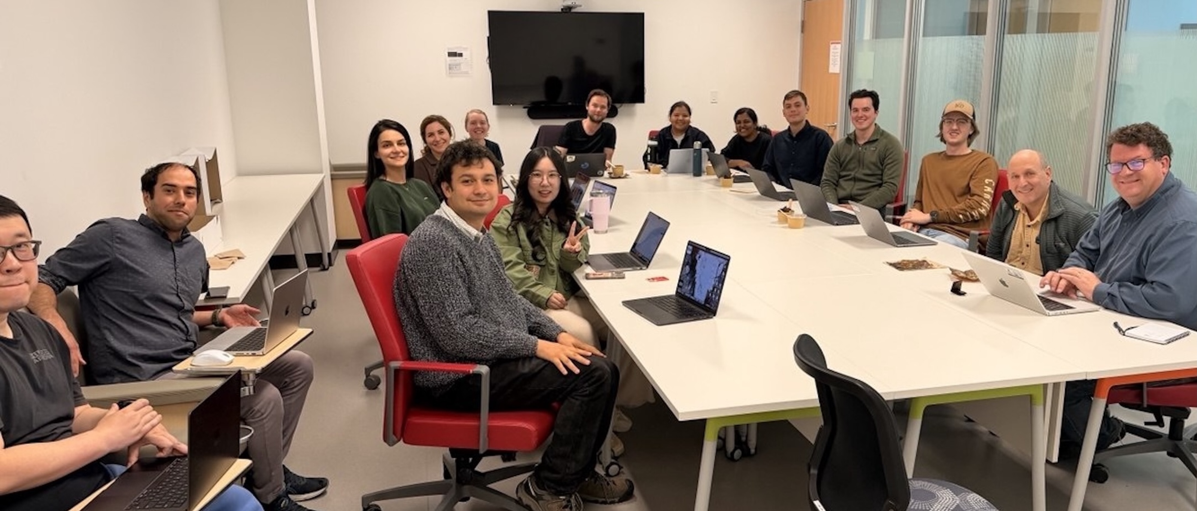
On June 12, 2026, the CAPE website received a fresh new look! As part of this update, profiles for new team members have been added, while existing member profiles have been refreshed with updated information. These improvements help keep the website current and provide visitors with a more complete overview of the CAPE team.
 Posted on 18 Aug 2026
 Posted on 31 Jul 2026
 Posted on 28 Jul 2026
 Posted on 17 Jul 2026
About CAPE: We bring together observations, models, and data science to improve understanding and prediction of hydrological processes across scales from hillslopes to continents.

Land and Water Acknowledgement: We respectfully acknowledge that we live and work on Treaty 7 Territory and the Homeland of the Métis, Tsuut'ina, Stoney, and Blackfoot. We thank these nations for their care and stewardship over this land and water, and we pay respect to the ancestors of these places.